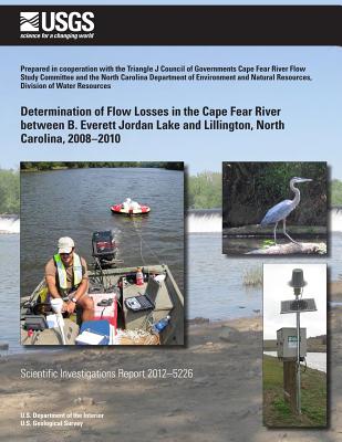
During 2008-2010, the U.S. Geological Survey conducted a hydrologic investigation in cooperation with the Triangle J Council of Governments Cape Fear River Flow Study Com- mittee and the North Carolina Division of Water Resources to collect hydrologic data in the Cape Fear River between B. Everett Jordan Lake and Lillington in central North Caro- lina to help determine if suspected flow losses occur in the reach. Flow loss analyses were completed by summing the daily flow releases at Jordan Lake Dam with the daily dis- charges at Deep River at Moncure and Buckhorn Creek near Corinth, then subtracting these values from the daily dis- charges at Cape Fear River at Lillington. Examination of long- term records revealed that during 10,227 days of the 1983- 2010 water years,1 408 days (4.0 percent) had flow loss when conditions were relatively steady with respect to the previous day's records. The flow loss that occurred on these 408 days ranged from 0.49 to 2,150 cubic feet per second with a median flow loss of 37.2 cubic feet per second. The months with the highest number of days with flow losses were June (16.7 per- cent), September (16.9 percent), and October (19.4 percent).
| FindBook |
有 1 項符合
Determination of Flow Losses in the Cape Fear River Between B. Everett Jordan Lake and Lillington, North Carolina, 2008?2010的圖書 |
 |
Determination of Flow Losses in the Cape Fear River Between B. Everett Jordan Lake and Lillington, North Carolina, 2008?2010 作者:Weaver 出版社:Createspace Independent Publishing Platform 出版日期:2014-06-11 語言:英文 規格:平裝 / 92頁 / 27.9 x 21.6 x 0.5 cm / 普通級 |
| 圖書館借閱 |
| 國家圖書館 | 全國圖書書目資訊網 | 國立公共資訊圖書館 | 電子書服務平台 | MetaCat 跨館整合查詢 |
| 臺北市立圖書館 | 新北市立圖書館 | 基隆市公共圖書館 | 桃園市立圖書館 | 新竹縣公共圖書館 |
| 苗栗縣立圖書館 | 臺中市立圖書館 | 彰化縣公共圖書館 | 南投縣文化局 | 雲林縣公共圖書館 |
| 嘉義縣圖書館 | 臺南市立圖書館 | 高雄市立圖書館 | 屏東縣公共圖書館 | 宜蘭縣公共圖書館 |
| 花蓮縣文化局 | 臺東縣文化處 |
|
|
圖書介紹 - 資料來源:博客來 評分:
圖書名稱:Determination of Flow Losses in the Cape Fear River Between B. Everett Jordan Lake and Lillington, North Carolina, 2008?2010
|


