| FindBook |
有 1 項符合
Learning QGIS - Third Edition的圖書 |
 |
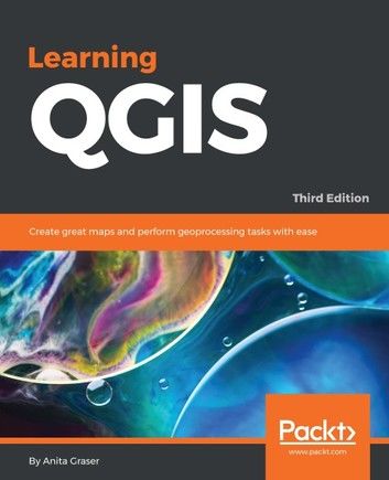
Learning QGIS - Third Edition 作者:Anita Graser 出版社:Packt Publishing 出版日期:2016-03-10 語言:英文 |
| 圖書館借閱 |
| 國家圖書館 | 全國圖書書目資訊網 | 國立公共資訊圖書館 | 電子書服務平台 | MetaCat 跨館整合查詢 |
| 臺北市立圖書館 | 新北市立圖書館 | 基隆市公共圖書館 | 桃園市立圖書館 | 新竹縣公共圖書館 |
| 苗栗縣立圖書館 | 臺中市立圖書館 | 彰化縣公共圖書館 | 南投縣文化局 | 雲林縣公共圖書館 |
| 嘉義縣圖書館 | 臺南市立圖書館 | 高雄市立圖書館 | 屏東縣公共圖書館 | 宜蘭縣公共圖書館 |
| 花蓮縣文化局 | 臺東縣文化處 |
|
|
The latest guide to using QGIS 2.14 to create great maps and perform geoprocessing tasks with ease
About This Book
- Learn how to work with various data and create beautiful maps using this easy-to-follow guide.
- Give a touch of professionalism to your maps both for functionality and look and feel with the help of this practical guide.
- A progressive hands-on guide that builds on a geo-spatial data and adds more reactive maps by using geometry tools.
Who This Book Is For
This book is great for users, developers, and consultants who know the basic functions and processes of GIS and want to learn to use QGIS to analyze geospatial data and create rich mapping applications. If you want to take advantage of the wide range of functionalities that QGIS offers, then this is the book for you.
What You Will Learn
- Install QGIS and get familiar with the user interface
- Load vector and raster data from files, databases, and web services
- Create, visualize, and edit spatial data
- Perform geoprocessing tasks and automate them
- Create advanced cartographic outputs
- Design great print maps
- Expand QGIS using Python
In Detail
QGIS is a user-friendly open source geographic information system (GIS) that runs on Linux, Unix, Mac OS X, and Windows. The popularity of open source geographic information systems and QGIS in particular has been growing rapidly over the last few years.
Learning QGIS Third Edition is a practical, hands-on guide updated for QGIS 2.14 that provides you with clear, step-by-step exercises to help you apply your GIS knowledge to QGIS. Through clear, practical exercises, this book will introduce you to working with QGIS quickly and painlessly.
This book takes you from installing and configuring QGIS to handling spatial data to creating great maps. You will learn how to load and visualize existing spatial data and create data from scratch. You will get to know important plugins, perform common geoprocessing and spatial analysis tasks and automate them with Processing.
We will cover how to achieve great cartographic output and print maps. Finally, you will learn how to extend QGIS using Python and even create your own plugin.
Style and approach
A step by step approach to explain concepts of Geospatial map with the help of real life examples
|


